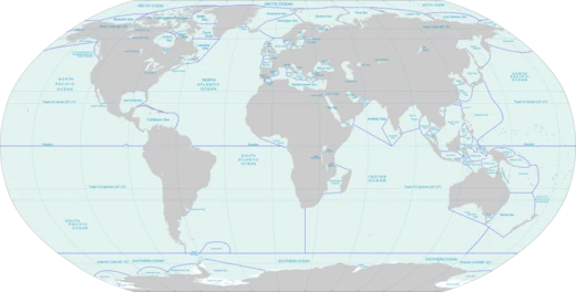
Labrador Sea
Arm of the North Atlantic between Labrador and Greenland.

Wikipedia / Wikimedia Commons
The Labrador Sea is an arm of the North Atlantic Ocean between the Labrador Peninsula and Greenland. It is a marginal sea of the Atlantic, flanked by continental shelves to the southwest, northwest, and northeast, and connects northward to Baffin Bay through the Davis Strait. The sea is a major source of the North Atlantic Deep Water, a cold water mass that flows at great depth along the western edge of the North Atlantic. It also contains one of the world's largest turbidity current channel systems, the Northwest Atlantic Mid-Ocean Channel (NAMOC), which runs for thousands of kilometres along the sea bottom toward the Atlantic Ocean.
- Location
- Between Labrador Peninsula and Greenland
- Maximum Depth
- 3,400 m (11,155 ft)
- Width at Atlantic Junction
- 1,000 km (621 mi)
- Formation Period
- Started ~60 million years ago, stopped ~40 million years ago
- Major Feature
- Northwest Atlantic Mid-Ocean Channel (NAMOC)
- Key Oceanographic Role
- Source of North Atlantic Deep Water
Lore & Background
The Labrador Sea formed upon separation of the North American Plate and Greenland Plate that started about 60 million years ago (Paleocene) and stopped about 40 million years ago. A sedimentary basin, now buried under the continental shelves, formed during the Cretaceous. Onset of magmatic sea-floor spreading was accompanied by volcanic eruptions of picrites and basalts in the Paleocene at the Davis Strait and Baffin Bay. Between about 500 BC and 1300 AD, the southern coast of the sea contained Dorset, Beothuk, and Inuit settlements; Dorset tribes were later replaced by Thule people.
Reader's Guide
The Labrador Sea is about 3,400 m deep and 1,000 km wide where it joins the Atlantic Ocean, becoming shallower to less than 700 m towards Baffin Bay. The Northwest Atlantic Mid-Ocean Channel (NAMOC) is a 100–200 m deep turbidity current channel system, about 2–5 km wide and 3,800 km long, running near the sea's center from the Hudson Strait into the Atlantic. Water temperature varies between −1 °C in winter and 5–6 °C in summer, with salinity at 31–34.9 parts per thousand. Two-thirds of the sea is covered in ice in winter. The sea provides a significant part of the North Atlantic Deep Water (NADW); the top layer, Labrador Sea Water (LSW), has low salinity (34.84–34.89 parts per thousand), low temperature (3.3–3.4 °C), and high oxygen content. The Labrador Current maintains water temperature at 0 °C and salinity between 30 and 34 parts per thousand. Shrimp fisheries began in 1978, and cod fishing was halted in 1992 due to depleted fish populations.
Did You Know?
- The Labrador Sea formed upon separation of the North American Plate and Greenland Plate that started about 60 million years ago and stopped about 40 million years ago.
- The Northwest Atlantic Mid-Ocean Channel (NAMOC) is one of the world's longest drainage systems of Pleistocene age, running 3,800 km along the sea bottom.
- Two-thirds of the Labrador Sea is covered in ice in winter.
- The Labrador Sea Water (LSW), part of the North Atlantic Deep Water, has a temperature of 3.3–3.4 °C and salinity of 34.84–34.89 parts per thousand.
- Cod fishing in the Labrador Sea was halted in 1992 due to depleted fish populations.
More in Seas And Oceans 1-24
Related in Seas And Oceans
Links follow this subject's own source article.
Elsewhere in the Seas And Oceans universe
Spotted an error? Know more?
This is a living reference — every entry is fact-audited, and reader corrections feed straight into our audit queue. Suggest an edit · See this site's audit record